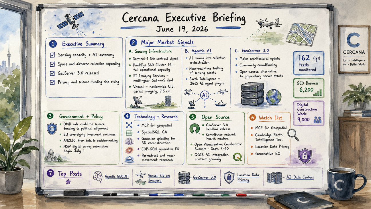
162 feeds monitored. Published June 19, 2026.
Executive Summary
Geospatial market activity this week reflects the interaction between expanded sensing capacity and AI systems that operate that capacity with increasing autonomy. Three space-based milestones landed on Thursday: the Sentinel-1 next-generation SAR contract was signed, HawkEye 360’s Cluster 14 reached full operational capacity for signals intelligence, and SI Imaging Services closed a multi-year Sat-aaS agreement. Vexcel extended the same pattern into airborne collection with a nationwide U.S. aerial imagery program at 7.5cm resolution.
The collection layer is becoming more dynamic. Project Geospatial’s analysis of “agentic GEOINT” describes AI moving upstream into sensing orchestration, where systems determine collection targets and timing. That design direction is visible across both commercial and defense operators.
GeoServer 3.0 shipped this week after a community crowdfunding effort. The release arrives as sovereignty directives, procurement pressure, and cloud-native modernization reshape enterprise geospatial infrastructure. GEO Business 2026 drew 6,200 attendees and Digital Construction Week drew 9,000, indicating continued market expansion around these themes.
Two developments introduce structural exposure. A proposed OMB rule would tie U.S. federal science funding to political alignment, affecting Earth observation and environmental monitoring programs. Location data privacy is also moving toward a regulatory posture that reflects the limits of anonymization and the portability of jurisdictional risk.
Major Market Signals
Sensing Infrastructure Investment Is Expanding Across Space and Airborne Platforms
Three sensing milestones arrived within a single 24-hour window: the Sentinel-1 next-generation SAR contract was signed, HawkEye 360 reached full operational capacity on its Cluster 14 signals intelligence constellation, and SI Imaging Services closed a multi-year Sat-aaS agreement for 25cm SpaceEye-T imagery. Vexcel’s nationwide U.S. aerial imagery program at 7.5cm resolution, with collection beginning in January 2027, extends the same investment pattern to airborne platforms.
Poland’s CAMILA initiative and continued development of second-generation Galileo add evidence of national and regional investment in sovereign geospatial infrastructure. The supply environment for imagery and SIGINT is expanding. Analytics vendors face a different constraint, which is the ability to process and act on increased data volume rather than access to data itself.
Agentic AI Is Entering the Collection Layer
Project Geospatial’s “Agentic GEOINT” analysis describes a shift from post-processing analytics toward autonomous orchestration of satellite collection. AI agents respond to triggers and direct sensing resources in near real time rather than relying on manual tasking.
Cambridge University’s Earth Intelligence tool and a growing set of QGIS AI agent plugins point in the same direction across commercial, academic, and practitioner environments. The operational boundary between collection and analysis is becoming less distinct.
GeoServer 3.0 Reshapes the Enterprise Web Services Landscape
GeoServer 3.0 was released after more than a year of development and a community crowdfunding campaign. It represents a substantial architectural update and positions GeoServer as an enterprise-grade alternative to proprietary mapping server platforms.
The release aligns with sovereignty directives, cost pressure, and modernization programs that are driving evaluation of vendor lock-in. The crowdfunding model reflects direct enterprise participation in upstream open-source development. Government adoption in Europe and continued enterprise evaluation of migrations away from proprietary server stacks are likely to follow. FOSS4G NA reinforced this direction through deployments focused on wildfire preparedness.
Notable Company Activity
Product Releases
- Vexcel: Announced the first nationwide U.S. aerial imagery program at 7.5cm resolution, with collection starting in January 2027. The program establishes a new commercial baseline for national coverage density, with downstream implications for insurance, infrastructure, and urban analytics.
- FEMA: Released Hazus v7.2, moving the disaster loss estimation platform to an ArcGIS Pro-based version and affecting the government agencies, emergency managers, and insurance actuaries that depend on it.
- Soar Atlas: Launched a 3D Mode Beta that converts 2D geospatial datasets into browser-based 3D visualization, making it a watch-list item for the web-native 3D stack.
- MapTiler: Released geocoding controls for JavaScript maps without a Svelte dependency, reducing developer friction.
Partnerships
- Topcon × Pix4D: Announced a collaboration targeting the utilities sector’s data fragmentation problem across energy, water, and communications infrastructure workflows.
Funding & M&A
- Hexagon acquires ITRES: Hexagon AB acquired Calgary-based ITRES Research, a provider of airborne hyperspectral and thermal imaging systems. The acquisition adds spectral sensing capability relevant to precision agriculture, environmental monitoring, and infrastructure inspection.
- SI Imaging Services: Closed a multi-year Sat-aaS deal in the double-digit millions for 25cm SpaceEye-T imagery delivery to an undisclosed international customer.
Government and Policy Developments
The sharpest U.S. policy signal this week came from Public Environmental Data Partners: a proposed OMB rule would make political alignment a prerequisite for federal science funding, directly exposing atmospheric monitoring, climate-related Earth observation programs, and environmental data collection to a political filter. Separately, NSF reversed course on deep-sea monitoring following bipartisan congressional intervention. That reversal was a limited win, showing that specific scientific programs retain political defensibility when organized advocacy intervenes. It does not resolve the underlying structural risk to U.S. geospatial research funding.
European sovereignty investment continued on parallel tracks. The Sentinel-1 NG contract was signed; Poland’s CAMILA initiative, the country’s largest domestic satellite program, secured GMV as control system developer with ESA involvement; and second-generation Galileo development advanced with the addition of inter-satellite radio links. Each program reflects a consistent EU and member-state posture: space-based geospatial infrastructure is treated as sovereign capability, not merely procured service.
In Australia and New Zealand, ANZLIC articulated a maturing government posture: the conversation has shifted “from data to decision-making.” NSW will mandate digital form submission for surveyors beginning July 1. New Zealand’s Otago Regional Council received NZ$529,000 in additional funding to complete a 3D LiDAR program through 2027–28, and a New Zealand-led GNSS reflectometry effort is advancing toward near-real-time soil moisture monitoring for agriculture.
Technology and Research Trends
The expansion of MCP, or Model Context Protocol, into geospatial tooling defines a key infrastructure shift. VerySpatial’s Episode 787 highlighted this alongside the general availability of SpatialSQL. MCP provides standardized interfaces for AI agents to interact with spatial databases, APIs, and processing pipelines, enabling coordinated workflows across systems.
Gaussian splatting entered the geospatial discussion through the VerySpatial podcast. The technique produces photorealistic 3D scene reconstructions from image sequences and is being applied to site mapping, urban modeling, and inspection. GWF 2026 plenary sessions on digital twins and GeoAI for utilities indicate movement from pilot programs toward operational deployment.
The Spatial Edge newsletter highlighted COP-GEN, a generative Earth observation model that produces synthetic imagery with physical consistency. This approach affects training data generation and simulation workflows. Research on permafrost degradation and mass movement potential is reaching a level of spatial granularity that aligns with actuarial modeling timelines.
Open Source Ecosystem Signals
GeoServer 3.0.0 is the headline open-source development of the week. Development Seed also published a mapping of its contributor network, a revealing exercise that surfaces the depth of interdependence across the geospatial open-source stack. For enterprise procurement teams doing open-source due diligence, contributor network health is becoming a standard evaluation criterion.
The Open Visualization Collaborator Summit 2026 has been announced for September 9–10, bringing together the vis.gl, deck.gl, and OpenVisualization communities to set the roadmap for the open-source geospatial visualization stack. FOSS4G NA continued building its pre-conference profile, this week focused on wildfire preparedness tooling. Oslandia hosted an open-source GIS thematic day in Tours and published an open-source 3D geotechnical case study. The QGIS ecosystem is also generating notable AI integration content, including NASA OPERA plugins with AI agents, satellite timelapse tools, and an integrated terminal plugin.
Watch List
- MCP for Geospatial: Model Context Protocol expansion into spatial tooling continues to progress. Standardized interfaces for AI agents to access spatial systems enable coordinated workflows across data, APIs, and processing pipelines.
- Cambridge Earth Intelligence Tool: Trade press coverage lacks technical detail. Further disclosure would clarify whether the system represents a foundation-model approach to Earth observation interpretation.
- Location Data Privacy: Regulatory attention is increasing as re-identification remains feasible with high-resolution mobility data. European policy direction continues to develop in this area.
- COP-GEN and Generative EO: Generative models that produce physically consistent Earth observation imagery are advancing toward applied use in training and simulation contexts.
Top Posts of the Week
- “Agentic” GEOINT: The Autonomous Shift in Satellite Collection Orchestration — Geospatial Frontiers / Project Geospatial — June 15, 2026 — Examines the shift toward AI systems directing satellite collection in response to real-time triggers, with implications for how sensing assets are tasked and coordinated.
- Vexcel Announces the First Nationwide U.S. Aerial Imagery Program at 7.5cm Resolution — Geo Week News — June 15, 2026 — Establishes a new commercial baseline for nationwide imagery density, with downstream effects across insurance, infrastructure, and urban analytics workflows.
- GeoServer 3.0: la mayor modernización de la plataforma en años — MappingGIS — June 16, 2026 — Details the architectural overhaul in GeoServer 3.0 and the implications for enterprise deployment, scalability, and alternatives to proprietary server platforms.
- Why Location Data Privacy Is a Geospatial Problem — Geo Week News — June 18, 2026 — Frames privacy risk as inherent to the spatial resolution and structure of location data, where re-identification remains feasible under standard anonymization approaches.
- AI Data Centers and the Risk of Stranded Infrastructure — geoMusings — June 15, 2026 — Explores how shifts in AI workload composition and efficiency may change assumptions about data center demand, affecting infrastructure siting and investment decisions.
Cercana Executive Briefing is produced from 162 feeds aggregated via geofeeds.me.